


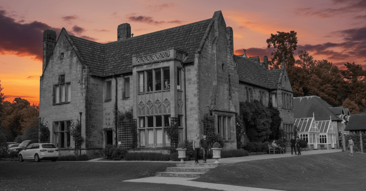
Fosse Bank School has occupied its Tonbridge campus since 1866. The buildings are historic, the grounds are wooded and uneven, and the school wanted to upgrade the site plan without losing either.
We surveyed the whole campus, 1,070,449 square feet, as a single scan-to-BIM model: the buildings, the topography, the tree cover and the existing hard landscape. Capturing the levels properly matters most on a site like this, because on sloping wooded ground the difference between an assumed contour and a measured one decides whether a new path, terrace or building actually works.
The model gave the design team one coordinated base. New landscape elements could be tested against real ground conditions, and architects, planners and the school could all look at the same thing when deciding what the campus should become.
Have a project like this?
Tell us the type and the stage you're at, and we'll share relevant examples, along with how we'd approach the design, the model and the documentation.